Rapid Parcel Screen
A fast first pass for major red flags and early parcel filtering.
- Major visible constraints
- Floodplain / wetland / access flags
- Recommended next step
Services
Most work begins with a Rapid Parcel Screen or Land Decision Brief. From there, additional review can be scoped around imagery, floodplain context, restoration, drone observation, or long-term land documentation.
Primary service
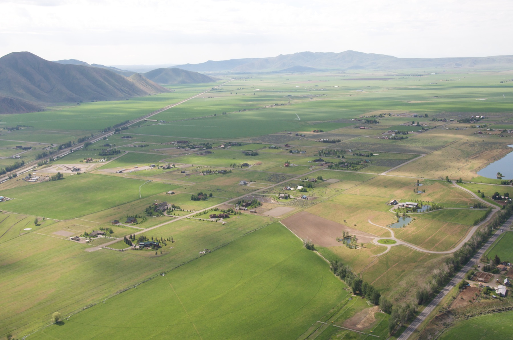
A fixed-scope parcel review for buyers, advisors, lenders, builders, and land stewards who need early context on floodplain, water, terrain, access, and surrounding constraints before committing capital or deeper diligence.
Primary service path
A fast first pass for major red flags and early parcel filtering.
The main structured parcel review for most pre-offer or early land decisions.
A deeper review for complex parcels, higher-stakes decisions, or intended-use questions.
Extensions
After the first review, some questions may need deeper context. These extensions are scoped only where the parcel, site, or decision calls for them.
Site-specific aerial imagery with annotated observations, used where current imagery or visual access context materially affects the question.
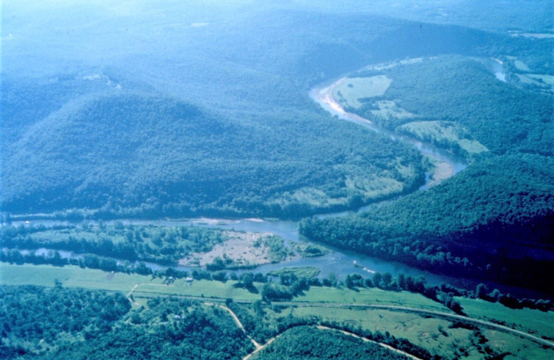
Additional review of floodplain position, nearby water, access timing, and source-aware river context where relevant.
A focused look at available imagery over time where visible site change, access evolution, canopy change, shoreline movement, or drainage pattern matters. Scope depends on available imagery.
Geospatial context for restoration-oriented questions, including canopy structure, hydrology, fragmentation, surrounding habitat, and follow-up questions. Not a formal ecological determination.
Post-purchase support for long-term land understanding, management context, and reviewable map records.
Map-led summaries or briefing packets for organizations or project teams that need spatial context for planning and communication.
A focused drone, map, or briefing assignment may sometimes be scoped directly. For most parcel-specific questions, however, a Rapid Parcel Screen or Land Decision Brief provides the necessary foundation before additional work is added.
Share the site, intended use, decision timeline, and known concerns. Aegis Geospatial can help identify whether a Rapid Parcel Screen, Land Decision Brief, or scoped extension is the right starting point.