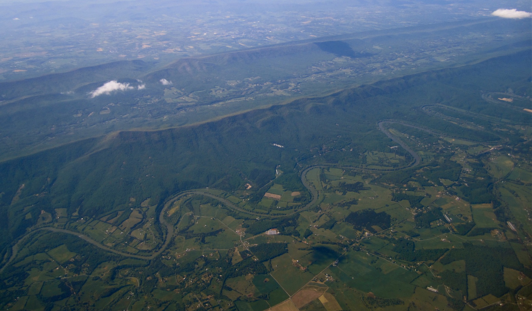
The condition matters
A reading only becomes useful when it is tied to the physical setting it describes.
Live river intelligence
See what the river is doing along the Upper Mississippi corridor.
Live at river.aegisgeo.com
Live dashboard
The live surface keeps river readings, source links, and corridor geography in one place.
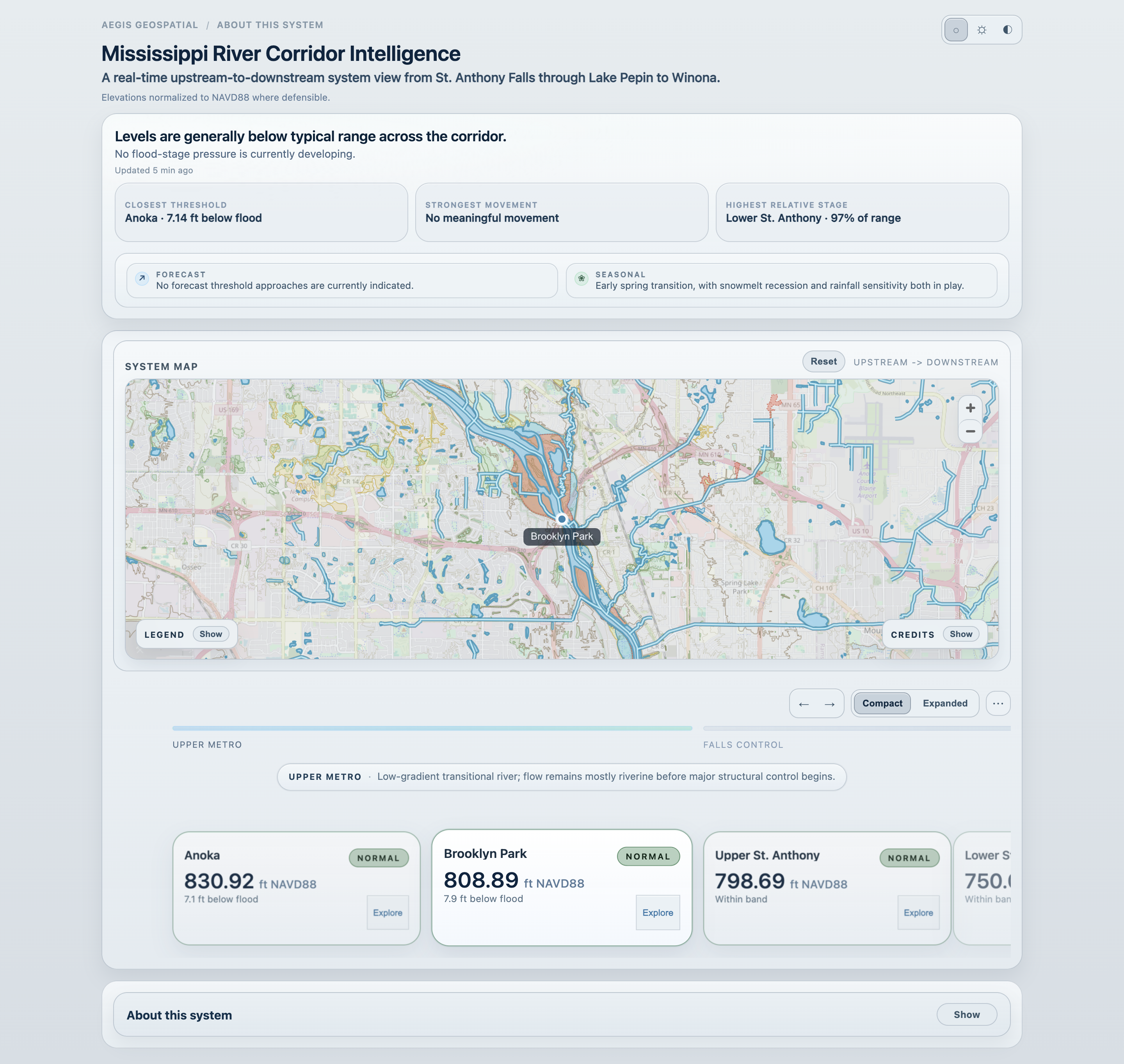
River intelligence
The dashboard supports corridor reading and station inspection. It is not an official warning system or flood forecast model.
A reusable pattern
A reading only becomes useful when it is tied to the physical setting it describes.
Maps, readings, and public datasets need visible source context so the interpretation can be reviewed.
The surface should be shaped around the decision at hand, not around every layer that could be shown.
Use the dashboard for a source-aware read of current Upper Mississippi conditions, or start a conversation about a similar surface for a land, water, floodplain, or corridor question.
Note: This view supports situational reading and review. It does not replace forecast products, emergency alerts, regulatory determinations, or official river warnings.