What it is
A bounded first review of parcel constraints before deeper diligence, design, financing, or acquisition work moves too far on assumption.

Observation · Intelligence · Resilience
Mapping, analysis, and written interpretation for land, water, and complex terrain.
Land and water work
Aegis Geospatial provides parcel briefs, river intelligence, and scoped environmental analysis where physical conditions need to be read clearly before the next commitment.
Primary service
A structured pre-acquisition parcel review for buyers, land stewards, and small developers who need a clear read on floodplain context, terrain, drainage, access, and surrounding conditions before committing capital.
A bounded first review of parcel constraints before deeper diligence, design, financing, or acquisition work moves too far on assumption.
Buyers, land stewards, small developers, and project teams evaluating whether a tract fits the intended use.
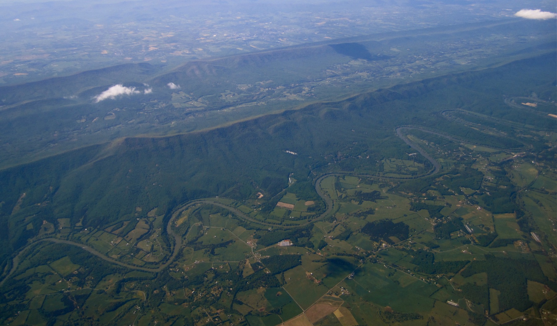
Floodplain setting, drainage pattern, slope, soils, access, mapped constraints, and nearby land conditions.
Example format
Executive summary
The brief summarizes parcel-specific floodplain exposure, slope, drainage, access, and follow-up concerns.
Constraint highlights
Parcel overview
A brief opening read of parcel fit, likely constraint posture, and the main reasons for caution or follow-up.
Access and use notes
A short note on how access, surrounding context, and likely site use should be read before moving into deeper diligence.
Floodplain and terrain notes
A focused section on low ground, drainage, slope, and nearby water conditions that may change how the site should be read.
Recommendation line
Recommendation posture: proceed / proceed with caution / avoid, based on parcel-specific findings.
Live river intelligence
Mississippi River Corridor Intelligence is a live, source-aware view of Upper Mississippi conditions. It brings river context, station readings, and map-based interpretation into one reviewable surface.
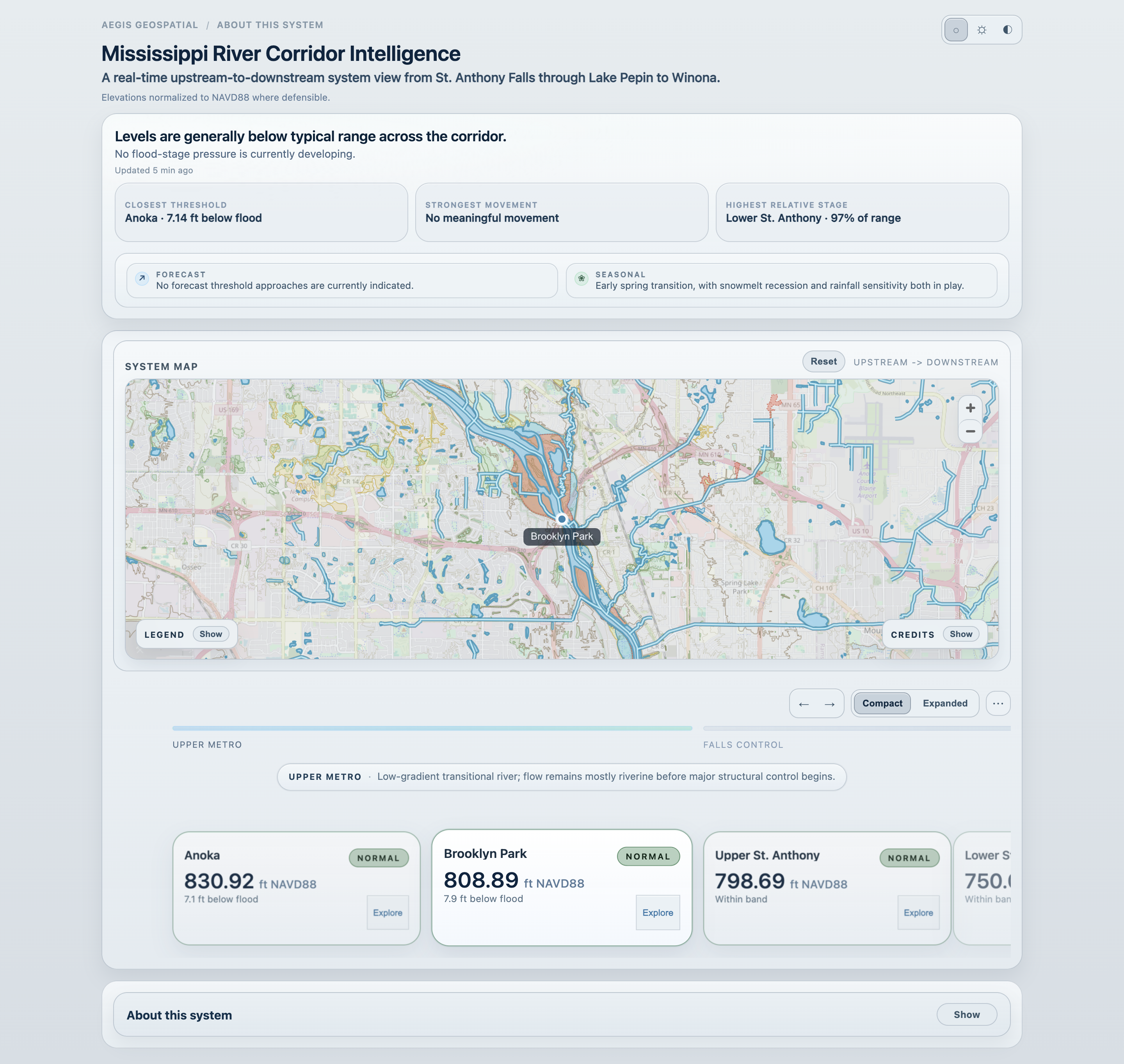
River intelligence
The dashboard supports corridor reading and station inspection. It is not an official warning system or flood forecast model.
IN DEVELOPMENT
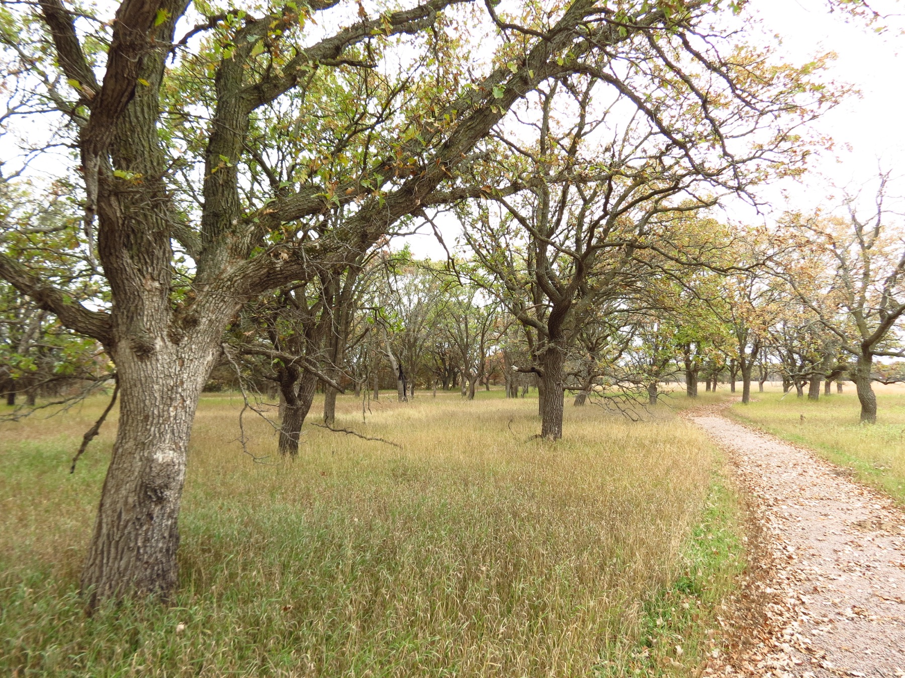
Oak Savanna Intelligence is an emerging decision surface for reading oak savanna restoration potential across fragmented Midwestern landscapes.
It examines historical ecology, current land condition, restoration potential, connectivity, and parcel context to identify where restoration and land action may have the greatest long-term effect.
The capability is being developed as a future support layer for acquisition strategy, easement planning, restoration sequencing, and biome continuity. It is not yet available as a client offering.
Additional work
A focused desktop review for river-adjacent sites, corridors, and low-ground questions where floodplain position, nearby water, access timing, or source-aware river context may affect interpretation or planning.
A bounded review of terrain, frontage, drainage, access, slope, low areas, surrounding land use, and visible constraints where a site appears workable but needs an early physical read.
A desktop review of visible change over time using available imagery and mapped context for shoreline movement, canopy change, land-use transition, access evolution, drainage changes, or site history questions.
A geospatial context review for restoration-oriented land questions, including canopy structure, hydrology, fragmentation, surrounding habitat, and early indicators of restoration potential. This is not a formal ecological determination.
Methods and principles
Maps and summaries are built to be read closely. Ornament is kept out of the way.
Ground position, water setting, and source quality matter before any narrow conclusion does.
Findings are arranged so a site can be revisited, re-scoped, or compared without starting over.
A short description of the tract, corridor, or river question is enough to begin a first review.