The land stays central
Terrain and water are not treated as background layers. They are treated as the conditions that shape what is actually possible.
About
The practice focuses on terrain, hydrology, access, ownership context, and environmental conditions that shape cost, timing, feasibility, and long-term decisions.
Approach
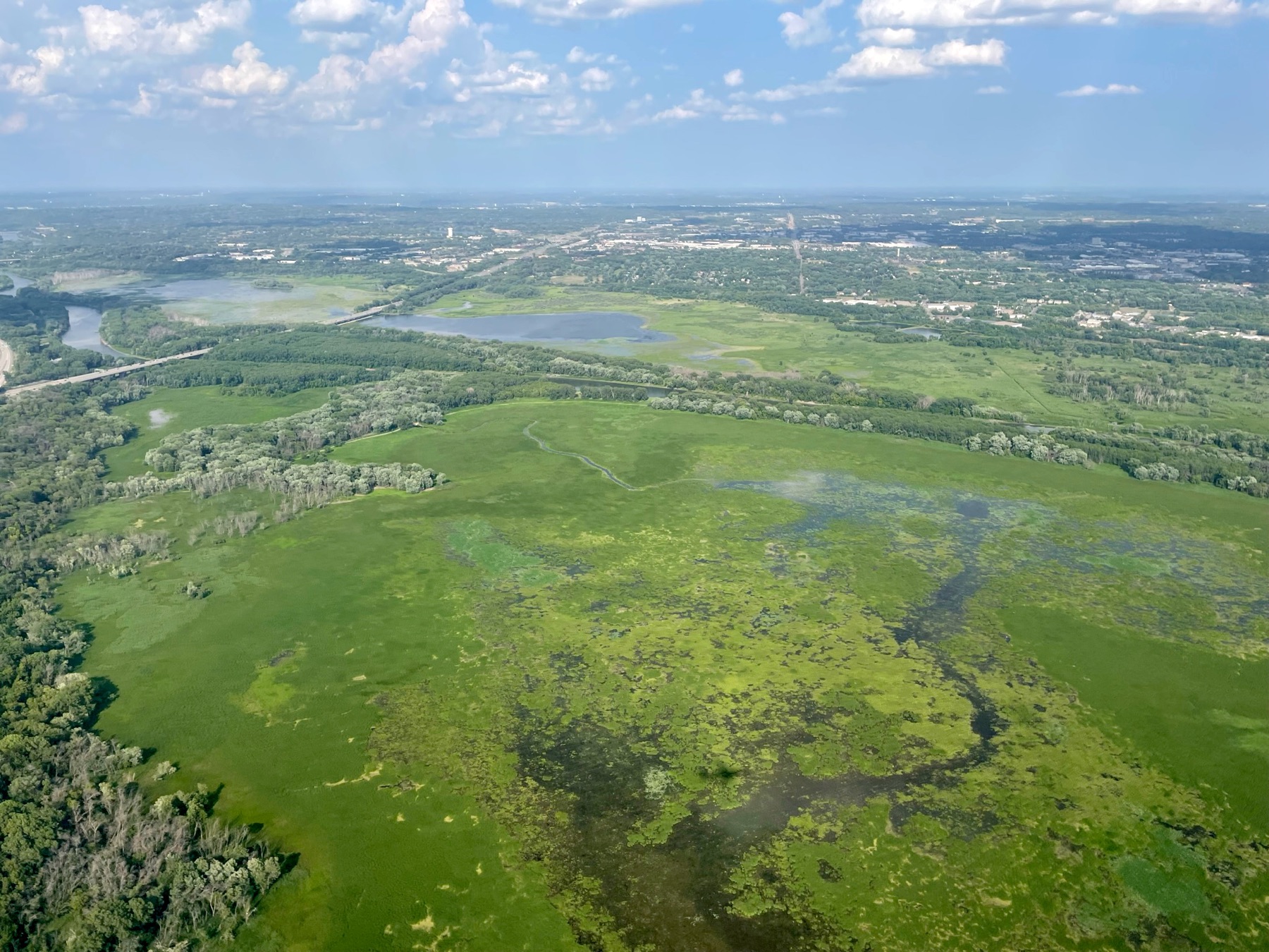
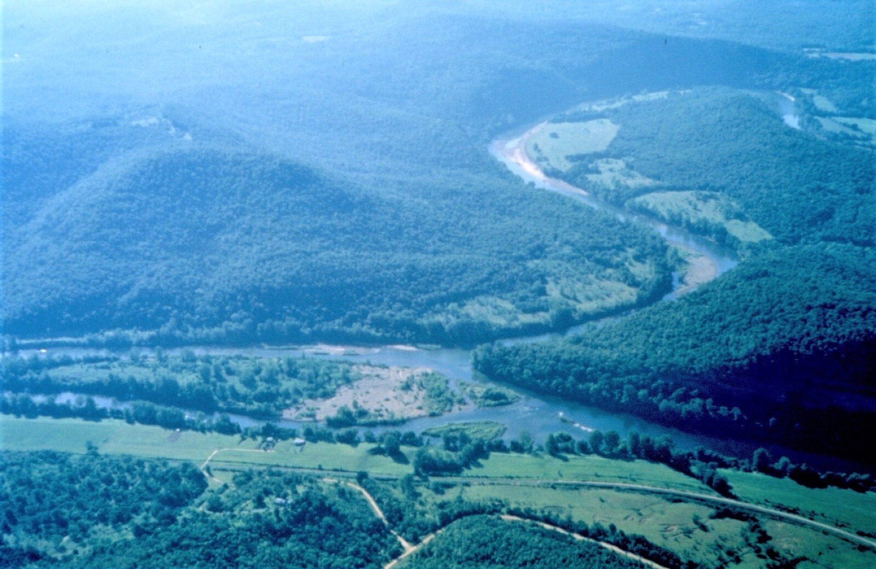
The practice is less interested in generic geospatial coverage than in the conditions that actually shape feasibility: slope, floodplain position, drainage pattern, channel movement, adjacency, and the wider environmental setting around a place.
What makes the approach different
Terrain and water are not treated as background layers. They are treated as the conditions that shape what is actually possible.
Maps, imagery, stage context, and terrain surfaces are used to keep the interpretation tied to what can be seen and checked.
Map plates and summaries are prepared to hold their meaning as they move through managers, partners, and technical reviewers.
Problems the practice is built for
When a parcel or footprint is known, but the terrain, water setting, or nearby constraints are not yet clear enough.
When the line on paper is easy, but the actual land surface and floodplain position may tell a different story.
When stage movement, threshold conditions, and reach context need to be seen together instead of checked in fragments.
What a client receives
Prepared layouts that show the main terrain, floodplain, river, or site conditions without burying the main reading.
Layered figures that make the main limiting conditions visible and comparable.
Concise records of what stands out in the geography, what appears constrained, and what may need closer follow-up.
Targeted reading of low ground, water adjacency, and floodplain position where those conditions shape the meaning of the map.
If terrain, floodplain, river reach, or surrounding environmental context is driving the uncertainty, that is the kind of question this practice is meant to take on.